Everyday Living In Orinda: Hills, Trails, And Downtown
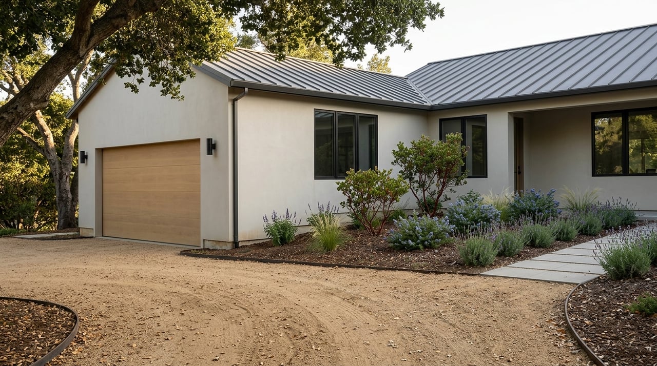
If you are looking for a place where your daily routine can include hillside views, quick trail access, and a small downtown that still feels useful, Orinda stands out. It is the kind of community where the setting shapes how you live, from morning commutes to weekend plans. If you want a clearer picture of what everyday life really feels like here, this guide will walk you through the basics. Let’s dive in.
Orinda is best understood as a residential community with a compact downtown rather than a dense suburban center. City land-use documents describe much of the community as very low-density to low-density residential areas made up mostly of single-family homes on individual lots.
That planning framework also emphasizes preserving residential neighborhoods, open space, natural resources, and the village character of downtown. In practical terms, that means Orinda tends to feel quieter, more spread out, and more connected to the landscape than places built around larger commercial corridors.
If you are comparing East Bay communities, this matters. Your day in Orinda is often shaped by hills, winding roads, and a strong separation between residential areas and the small downtown core.
Downtown Orinda is compact and split by Highway 24 into two main areas: the Village District north of the freeway and the Theatre District south of it. City planning documents describe the area as a low-rise village-style center with retail and service businesses, not a large strip-commercial environment.
That distinction helps explain why downtown often feels more like a civic and neighborhood hub than a major shopping district. You are not looking at an oversized commercial zone. You are looking at a concentrated center where daily needs and community spaces come together.
Several important everyday destinations sit close together in the downtown core. City materials identify Orinda BART, City Hall, the Community Center, the Library, and Theater Square as part of this central area.
That concentration can make errands feel more efficient, especially if you already plan to pass through downtown during the day. It also gives the core a rhythm that goes beyond shopping alone.
The Orinda Library is one of the more notable local amenities. Contra Costa County Library describes it as having more than 70,000 items, 29 public computers, free Wi-Fi, an art gallery, meeting rooms, a plaza, and a cafe.
For many buyers, amenities like this say a lot about how a place functions day to day. A library with that kind of footprint adds practical value, not just character.
One of the clearest lifestyle advantages in Orinda is how close you are to trails and open space. If you enjoy hiking, walking, or simply having outdoor options nearby, Orinda offers a strong mix of city parks, watershed lands, and regional preserve access.
EBMUD reports that its East Bay watershed trails cover about 90 miles and connect to larger regional systems like the Bay Area Ridge Trail and the East Bay Skyline National Recreation Trail. EBMUD also uses a trail-permit system and advises visitors to check current trail rules before heading out.
Orinda gives you access to several distinct outdoor areas without requiring a long drive. Sibley Volcanic Regional Preserve has an Old Tunnel Road staging area in Orinda, Tilden can be entered from its east side just north of Orinda Village, and Briones has a Bear Creek staging area near Orinda and Lafayette.
That variety matters because it gives you different trail experiences close to home. Depending on the day, you may want a shorter outing, a more expansive hike, or a change in terrain, and the nearby preserve network supports that flexibility.
At the local level, Orinda maintains about 170 acres of parks and roadside landscaping. City materials list Orinda Community Park, Wilder Park, Orinda Oaks Park, Orinda Sports Fields, and Pine Grove among the key public spaces.
Orinda Oaks Park plays a particularly useful role for people who like easy trail access. The city describes it as functioning largely as a trailhead and staging area for hikers, with parking, restrooms, water fountains, trash receptacles, and picnic tables.
Transportation in Orinda reflects the city’s layout. Highway 24 runs through the community, and the Orinda BART station serves the Antioch-SFIA/Millbrae line.
This setup helps explain a common daily pattern in Orinda. Many routines revolve around driving locally, using Highway 24 for regional travel, or combining a car trip with BART for commuting.
In addition to BART, County Connection Route 6 runs between Orinda BART and Lafayette BART. A Route 606 school-route schedule map also shows service between Orinda BART, Orinda Intermediate, and Lafayette BART.
BART’s station information lists parking, bike racks, on-demand bike lockers, and connecting transit. For buyers who want regional access without giving up a quieter residential setting, that mix can be a meaningful part of the appeal.
A common question is whether Orinda is walkable. The most accurate answer is that downtown is the most walkable part of the city, while the broader community is better understood as hillside and suburban in form.
That means everyday life is often car-assisted, with the easiest walkable access centered around the village core and civic destinations. If you value being able to get out on foot, where you live relative to downtown can shape your experience.
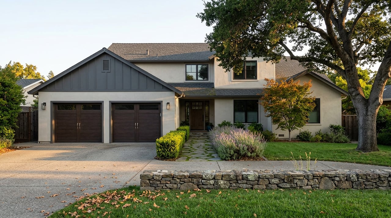
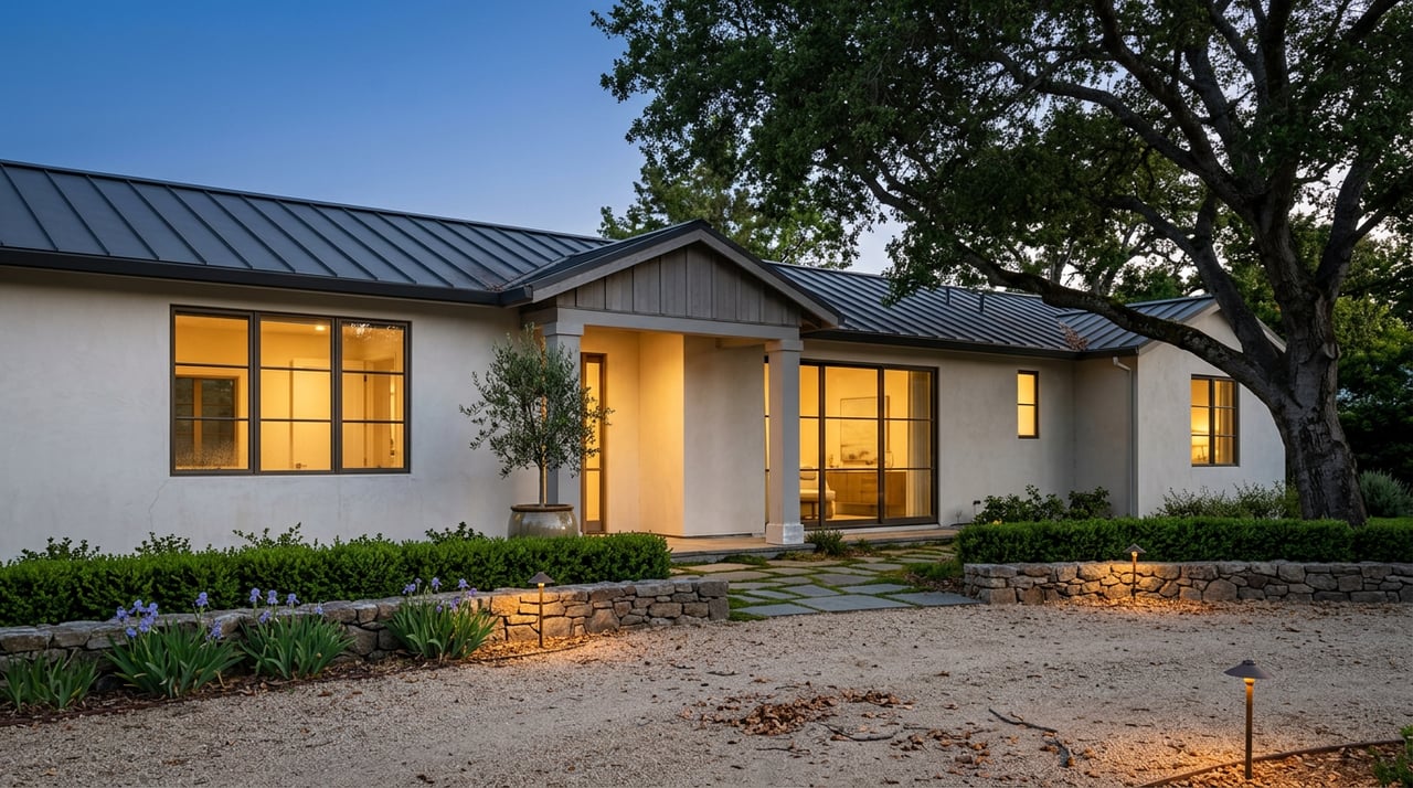
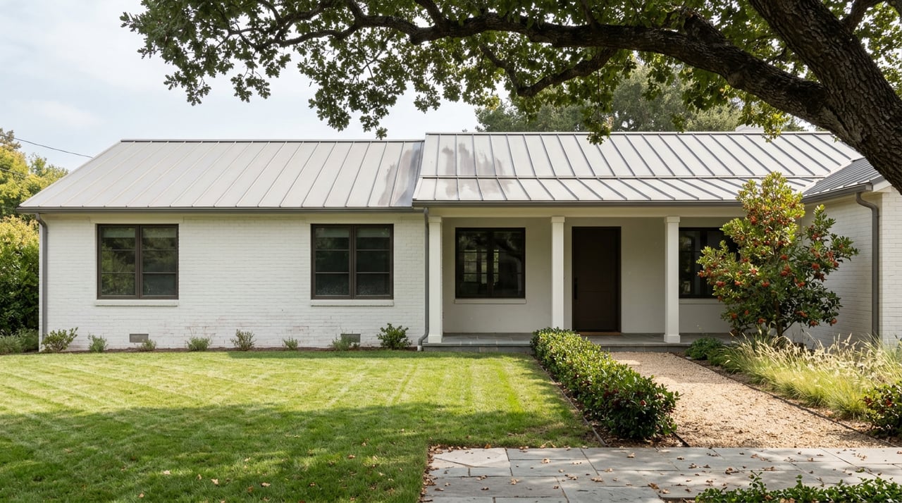
If you are trying to picture the housing pattern, the city’s land-use framework gives a clear answer. Residential areas are dominated by very low-density to low-density single-family homes on individual lots.
The city’s limited multifamily and mixed-use development is concentrated downtown. So if you are searching in Orinda, you will most often encounter a housing landscape shaped by detached homes, hillside streets, and neighborhood pockets rather than large clusters of attached housing spread across the city.
For buyers, this often means your home search is as much about setting and lot placement as it is about square footage. In Orinda, the relationship between the house, the land, and access to downtown or trails can have a big effect on lifestyle fit.
The simplest way to think about Orinda is this: it blends hill-country scenery, quick outdoor access, a compact downtown, and regional transit in a primarily residential setting. That combination is what gives the city its distinct identity.
You may spend part of your week moving between home, Highway 24, and BART, while using downtown for core errands and nearby parks or trailheads for downtime. It is not trying to be an all-in-one urban environment, and that is part of the point.
For the right buyer, that balance can feel very intentional. You get a quieter setting and strong access to open space, while still having a defined civic center and a regional transit connection when you need it.
If you are considering a move to Orinda, lifestyle fit matters as much as the house itself. Black Rose Real Estate takes a client-first, consultative approach to help you evaluate not just property details, but how a home supports the way you want to live.
Stay up to date on the latest real estate trends.
You’ve got questions and we can’t wait to answer them.